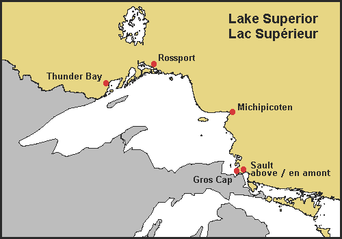
Lake Superior Water Levels

Water Levels
- Water levels vary seasonally, with high levels in August and September and low levels in March and April.
- All time low – 182.72 metres IGLD* 1985 (April 1926)
- All time high – 183.91 metres IGLD 1985 (October 1985)
- Maximum recorded range of monthly water levels, from extreme highs to extreme lows - 1.2 metres
- 100 year Flood Level Thunder Bay – 184.21 metres IGLD 1985 (183.9 metres above sea level (masl))
- Chart Datum – 183.2 metres IGLD 1985
- *IGLD 1985 = International Great Lakes Datum 1985
- Based on the monthly average water levels, the magnitude of seasonal fluctuation on Lake Superior averages to about 0.4 metres.
The real control on water levels is the elevation of the St. Mary's Rapids; these rapids form the main control on minimum and maximum lake levels. Factors such as snow melt, precipitation and seasonal temperature drive the annual rise and fall of the lake. Short term factors such as strong winds and storms can create a "seche" which resembles the tides found in the oceans. Elevations during these storm events can differ from one side of the lake to the other by over a metre during these short term weather events. The International Joint Commission (IJC) regulates the water level on Lake Superior and has a goal of maintaining the 183.4 long time average water level.
Current Water Levels

Department of Fisheries and Oceans (D.F.O.) Canada
Weekly Water Levels on the Great Lakes (Shows the weekly rise or fall from the average of 183.2m)
Changes and Predictions in Water Levels
Graph of Month by Month Water Levels (Shows seasonal variation [D.F.O.])
Great Lakes Environmental Research Laboratory Website
Interactive Water Level Viewers
Water Level Viewer (Pick the camera to view how changing water levels change shorelines.)
Great Lakes Environmental Research Laboratory- Great Lakes Water Levels
Great Lakes Hydro-Climate Dashboard (View historic lake levels and how they have varied over the last century by adjusting the years sliders.)
