Lakehead Region Conservation Authority
130 Conservation Road, PO Box 10427
Thunder Bay, ON P7B 6TB
Phone: (807) 344-5857
Lakehead Region Conservation Authority Lakehead Region Conservation Authority
  • Home
  • About
  • Contact
  • Store
  • Donate
  • Login
  • Home
  • About
    • News
    • Newsletter
    • Mandate
    • Board
    • Volunteer
    • Join Our Team
    • Partners
    • The Living Classroom Fund
    • Contact
    • Foundation
    • Archives
    • Services
    • Useful Links
    • Strategic Plan 2018-2022
    • Store
    • Donate
  • Regulations
    • Development Regulations
    • Plan Input and Review
    • Screening Maps
    • Permits
    • Fees
  • Flood Protection
    • Flood Forecasting
    • Floodplain Mapping
    • Neebing-McIntyre Floodway
    • Low Water Response
    • LRCA-Owned Floodplain Lands
    • FAQ
  • Watershed
    • Watershed Planning
    • Special Projects
    • Source Water Protection
    • Monitoring
    • Screening Maps
    • Erosion Control
    • Climate Change
    • Watershed Fact Sheets
  • Conservation
    • Conservation Areas
      • Hurkett Cove
      • Cascades
      • Silver Harbour
      • Cedar Falls
      • Little Trout Bay
      • Hazelwood Lake
      • MacKenzie Point
      • Mission Island Marsh
    • Forest Management Properties
      • Mills Block Forest
      • Williams Forest
      • Wishart Forest
    • Explore Card & Parking
    • Visitor Resources
    • Land Use Requests
    • Hazard Tree Program
    • Other Lands
    • Conservation Area Regulations
    • Upload A Photo
  • Events & Education
    • Special Events
    • Environmental Education
      • Education Programs
      • Complimentary Programs
      • Preparing for Your Visit
    • Publications & Resources
    • Geology
      • Lake Superior Basin
      • Meteorite Impact
      • Mid-Continent Rift
      • Nor'Wester Mountains
      • Early Glacial History
      • Glacial Lakes History
    • Birding
    • Mushrooms
  • Stewardship
    • Tree Seedling Program
    • Landowner Resources
    • Low Impact Development
    • Community Garden
  • Great Lakes
    • LRCA on Lake Superior
      • Hurkett Cove
      • Little Trout Bay
      • MacKenzie Point
      • Mission Island Marsh
      • Silver Harbour
    • Regulatory Role
    • Lake Superior Water Levels
    • Landowner Resources
    • Lake Superior Watershed
    • Conservation on the Great Lakes
    • Remedial Action Plan
  • Home

Events & Education

  • Special Events
  • Environmental Education
    • Education Programs
    • Complimentary Programs
    • Preparing for Your Visit
  • Publications & Resources
  • Geology
    • Lake Superior Basin
    • Meteorite Impact
    • Mid-Continent Rift
    • Nor'Wester Mountains
    • Early Glacial History
    • Glacial Lakes History
  • Birding
  • Mushrooms

Mushrooms

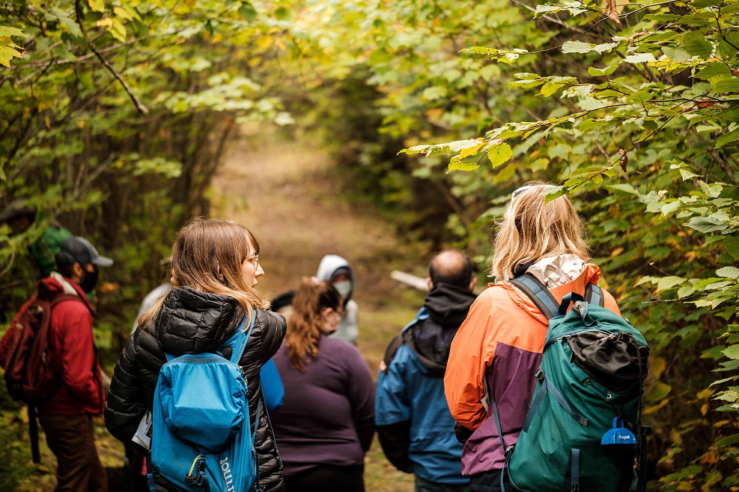
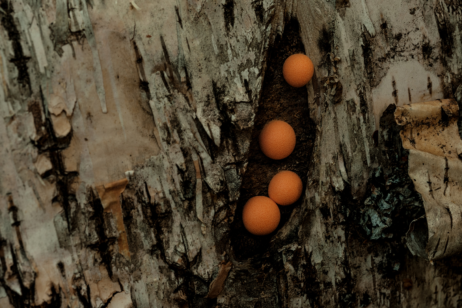
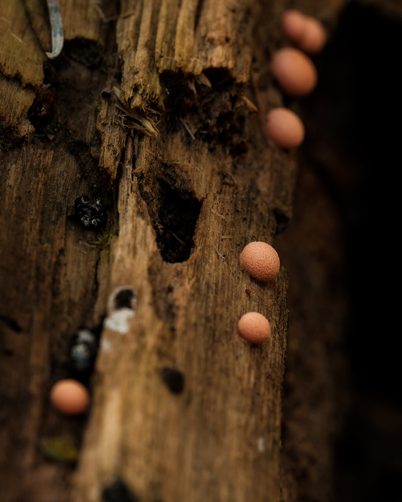
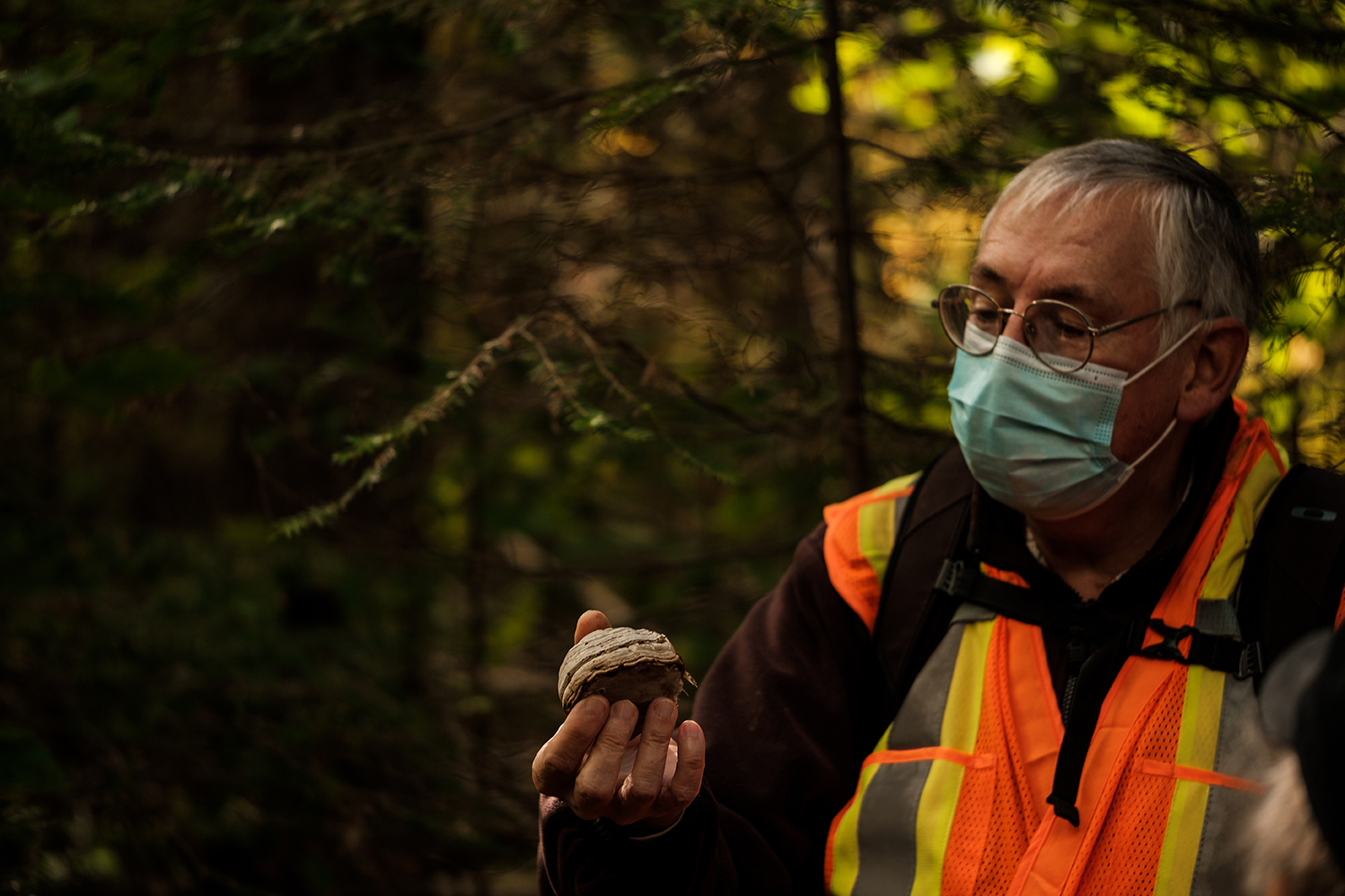
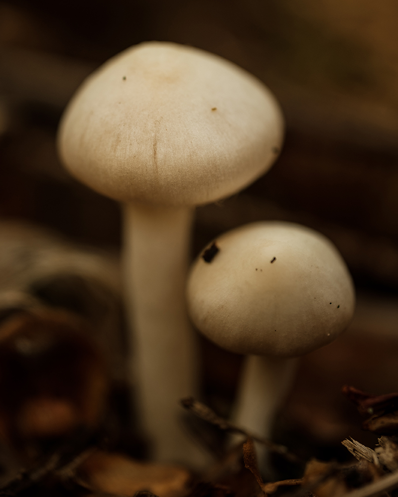
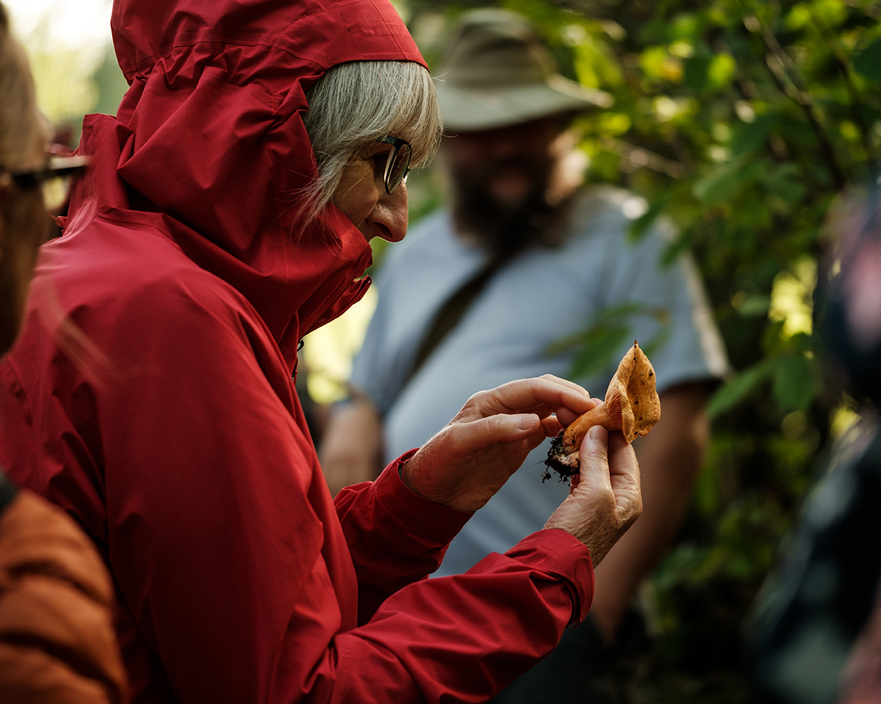
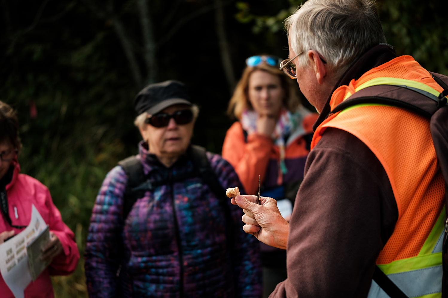
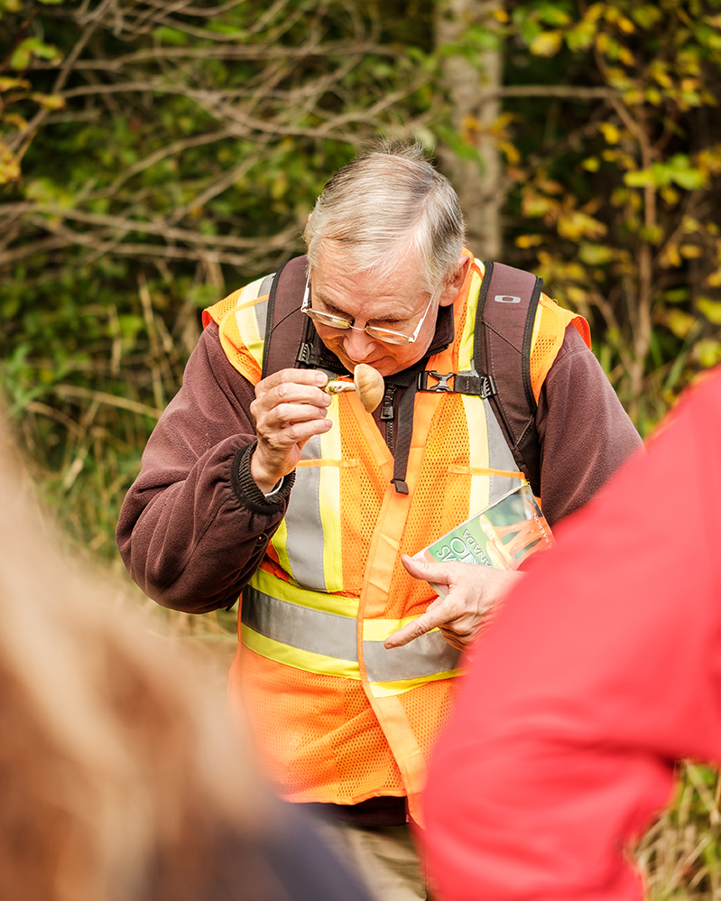
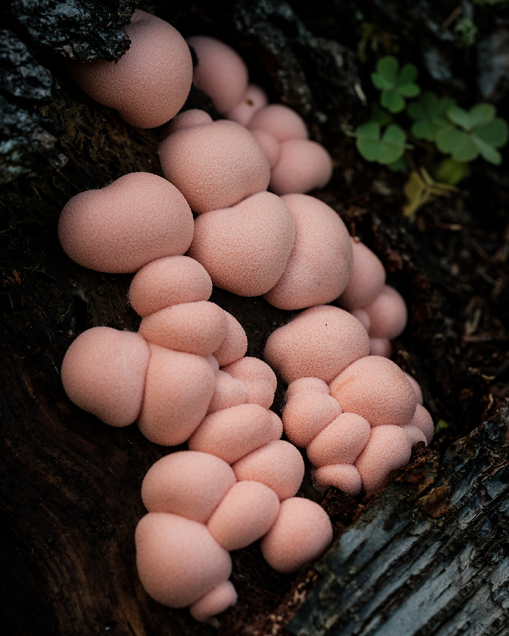
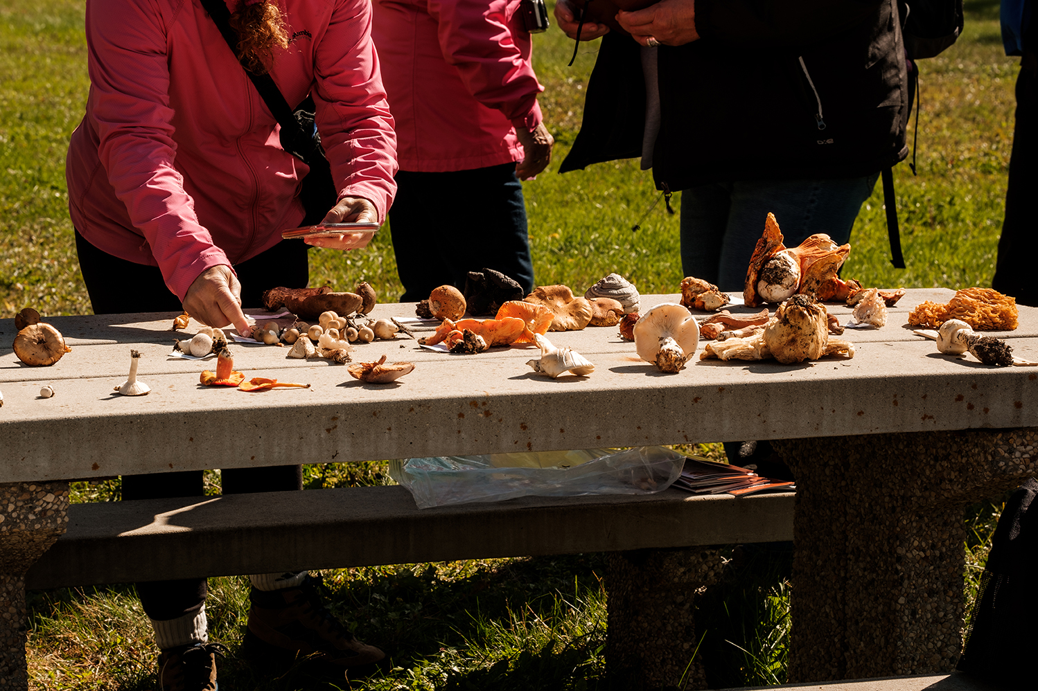
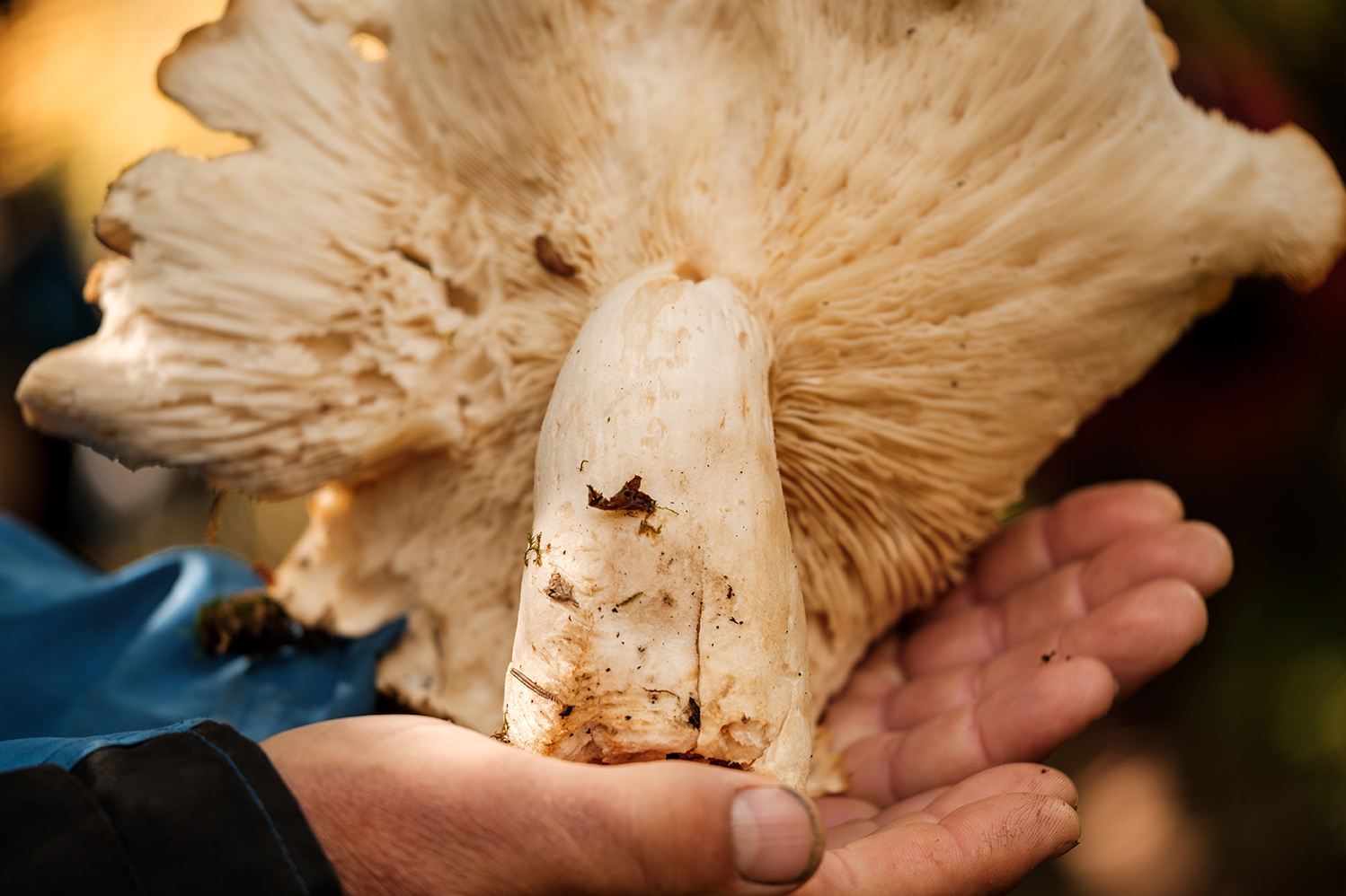
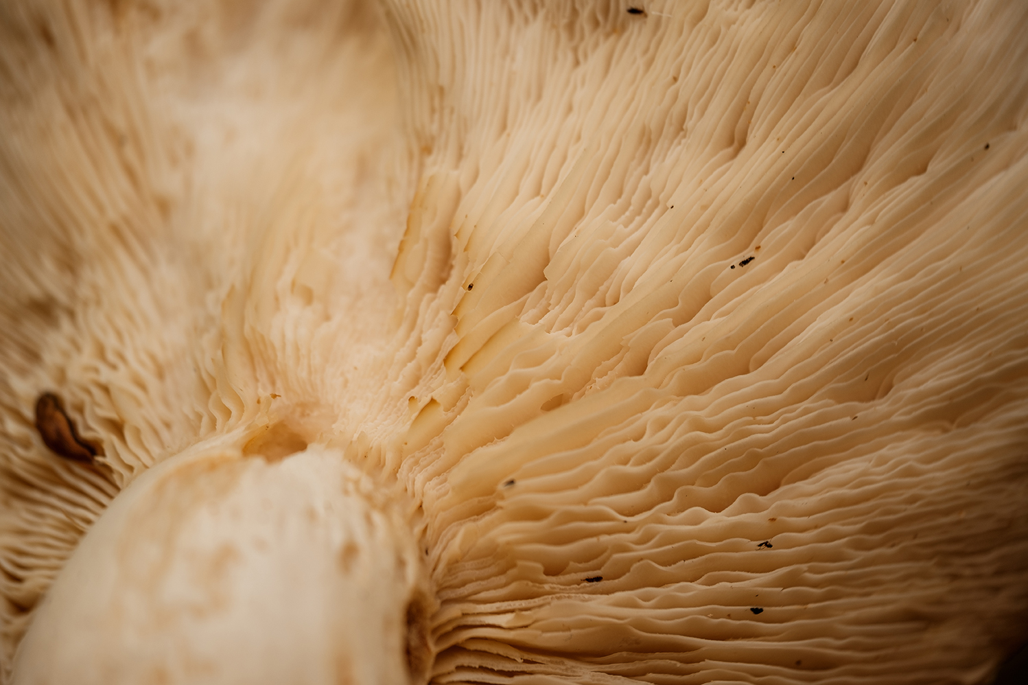
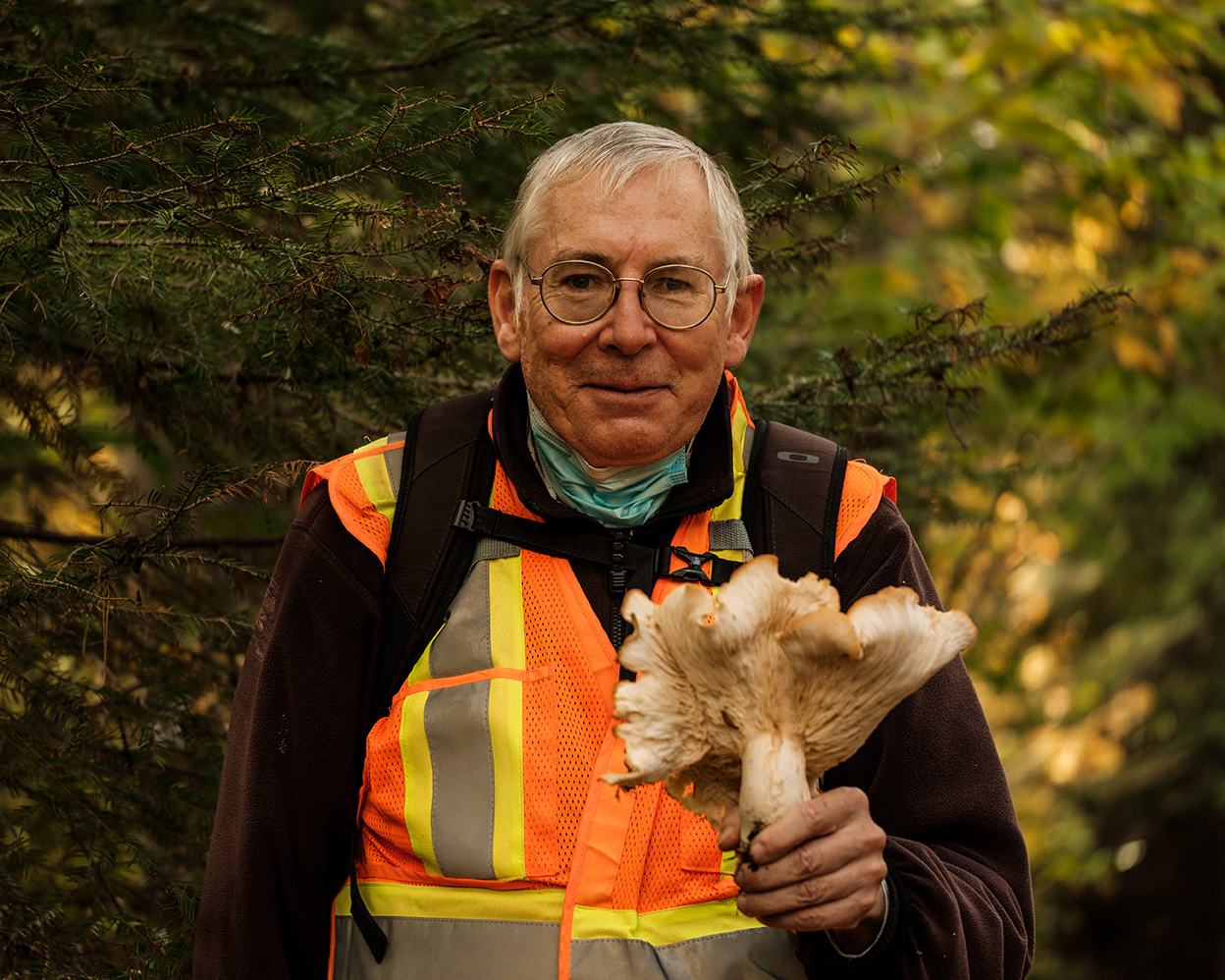
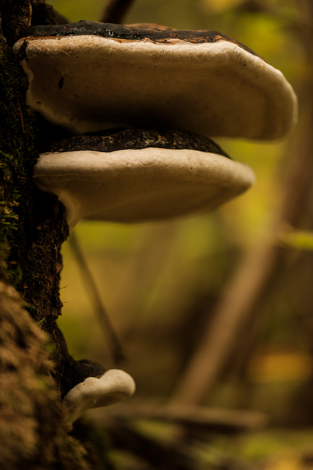
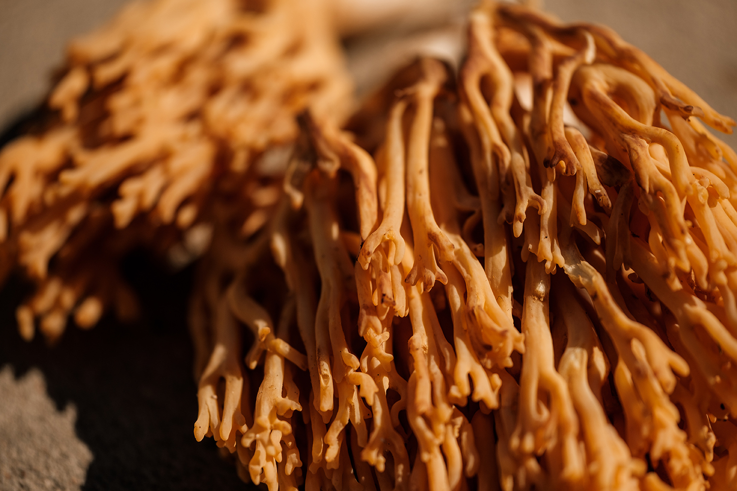
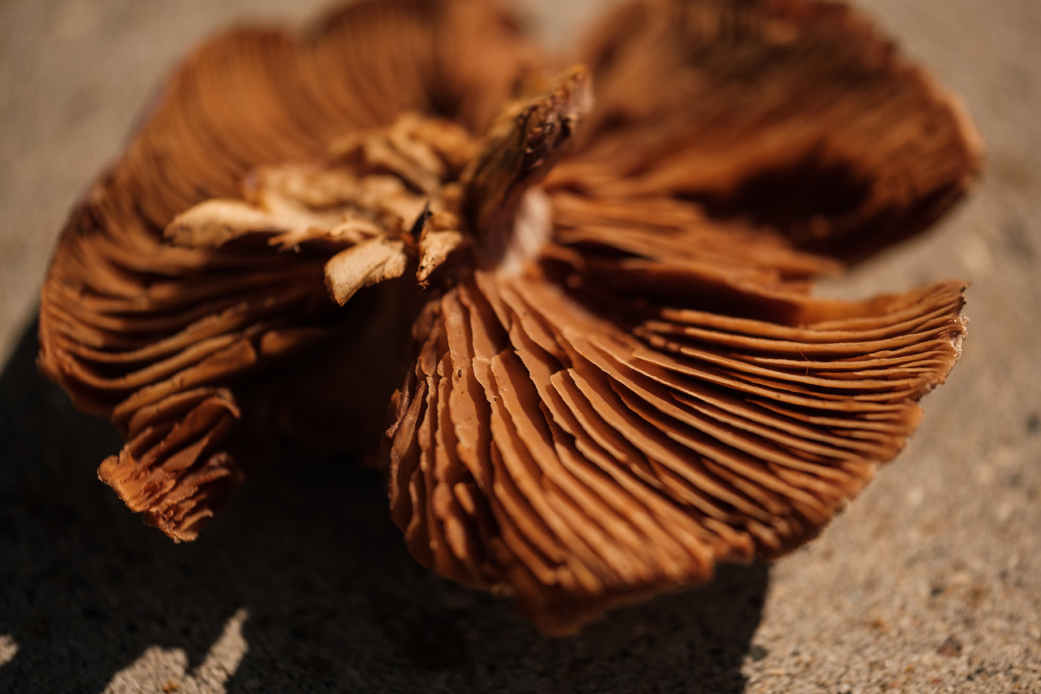
One of the LRCA's most popular annual events is our Fall Mushroom Hike. Typically this identification hike is led by Dr. Leonard Hutchison of Lakehead University. Be sure to check our events page each year as the mushroom hike fills up fast. 

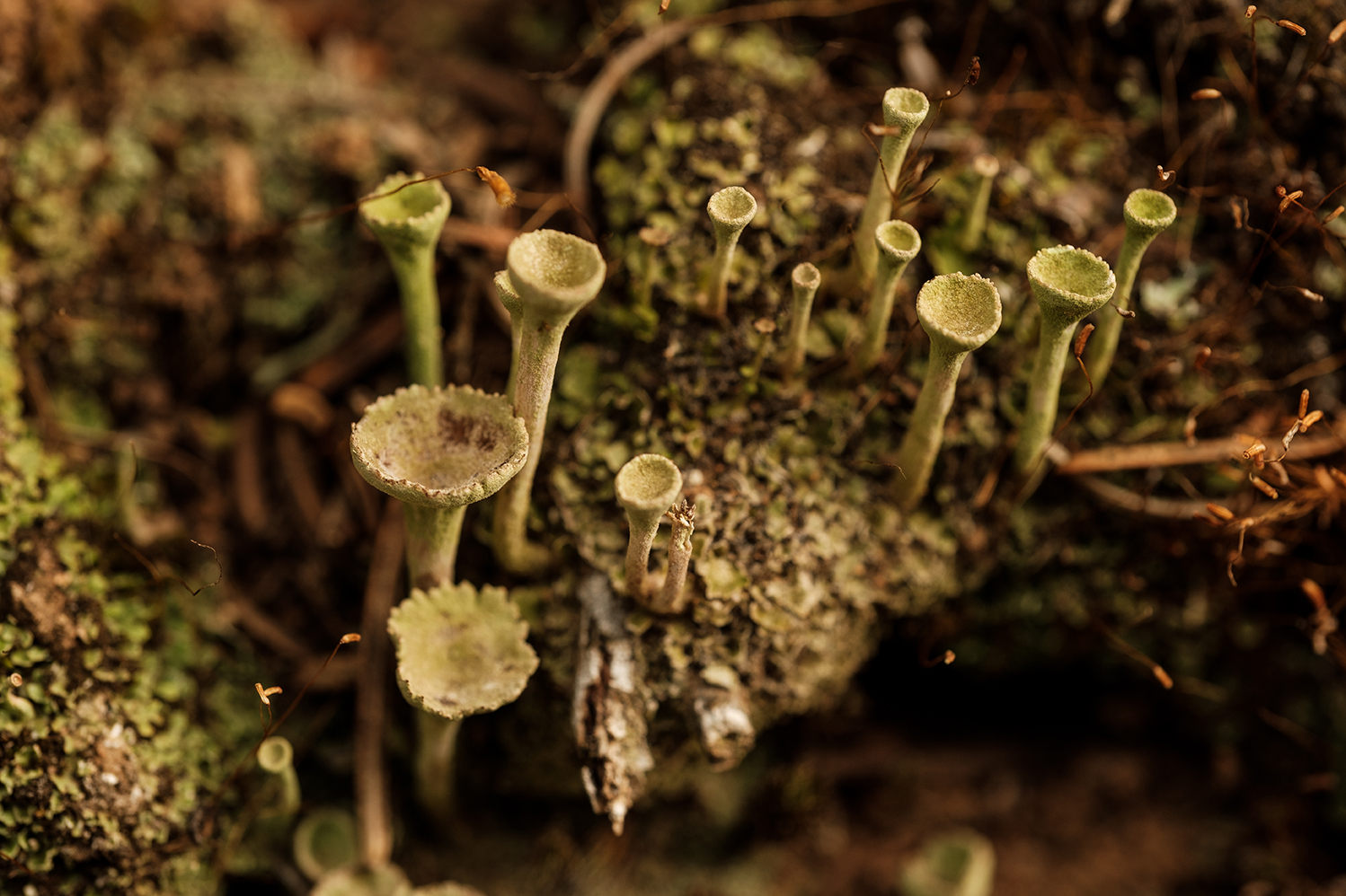
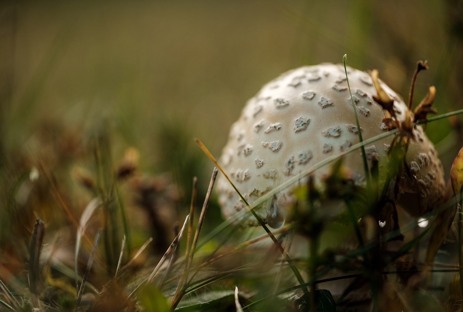
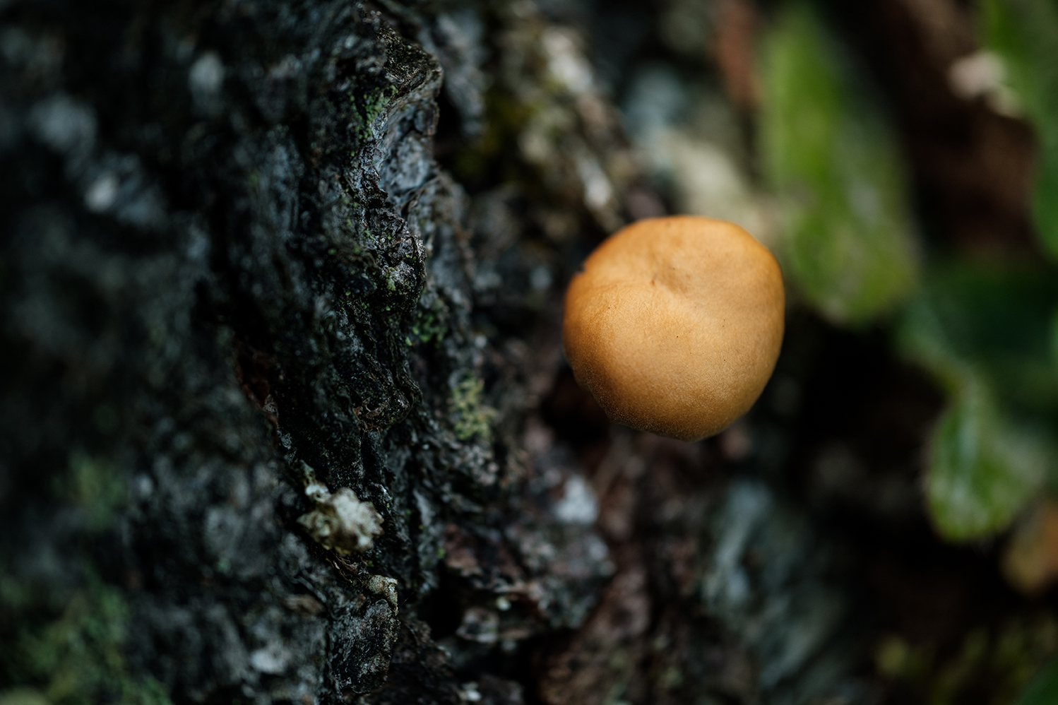
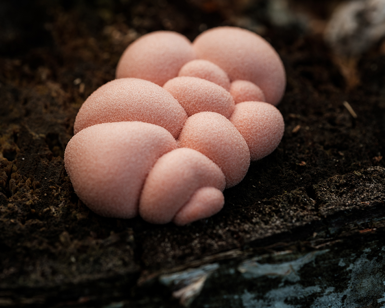
2020 Fall Mushroom Hike Images

RMXF5893.jpgRMXF5892.jpgRMXF5891.jpgRMXF5889.jpgRMXF5887.jpgRMXF5882.jpgRMXF5880.jpgRMXF5878.jpgRMXF5876.jpgRMXF5874.jpgRMXF5871.jpgRMXF5857.jpgRMXF5856.jpgRMXF5853.jpgRMXF5838.jpgRMXF5831.jpgRMXF5830.jpgRMXF5829.jpgRMXF5828.jpgRMXF5912.jpgRMXF5911.jpgRMXF5904.jpgRMXF5902.jpgRMXF5900.jpgRMXF5895.jpgRMXF5915.jpgRMXF5914.jpgRMXF5913.jpgRMXF5897.jpg

Subscribe to our newsletter & be in the loop

Lakehead Region Conservation Authority
  • Home
  • About
    • News
    • Newsletter
    • Mandate
    • Board
    • Volunteer
    • Join Our Team
    • Partners
    • The Living Classroom Fund
    • Contact
    • Foundation
    • Archives
    • Services
    • Useful Links
    • Strategic Plan 2018-2022
    • Store
    • Donate
  • Regulations
    • Development Regulations
    • Plan Input and Review
    • Screening Maps
    • Permits
    • Fees
  • Flood Protection
    • Flood Forecasting
    • Floodplain Mapping
    • Neebing-McIntyre Floodway
    • Low Water Response
    • LRCA-Owned Floodplain Lands
    • FAQ
  • Watershed
    • Watershed Planning
    • Special Projects
    • Source Water Protection
    • Monitoring
    • Screening Maps
    • Erosion Control
    • Climate Change
    • Watershed Fact Sheets
  • Conservation
    • Conservation Areas
      • Hurkett Cove
      • Cascades
      • Silver Harbour
      • Cedar Falls
      • Little Trout Bay
      • Hazelwood Lake
      • MacKenzie Point
      • Mission Island Marsh
    • Forest Management Properties
      • Mills Block Forest
      • Williams Forest
      • Wishart Forest
    • Explore Card & Parking
    • Visitor Resources
    • Land Use Requests
    • Hazard Tree Program
    • Other Lands
    • Conservation Area Regulations
    • Upload A Photo
  • Events & Education
    • Special Events
    • Environmental Education
      • Education Programs
      • Complimentary Programs
      • Preparing for Your Visit
    • Publications & Resources
    • Geology
      • Lake Superior Basin
      • Meteorite Impact
      • Mid-Continent Rift
      • Nor'Wester Mountains
      • Early Glacial History
      • Glacial Lakes History
    • Birding
    • Mushrooms
  • Stewardship
    • Tree Seedling Program
    • Landowner Resources
    • Low Impact Development
    • Community Garden
  • Great Lakes
    • LRCA on Lake Superior
      • Hurkett Cove
      • Little Trout Bay
      • MacKenzie Point
      • Mission Island Marsh
      • Silver Harbour
    • Regulatory Role
    • Lake Superior Water Levels
    • Landowner Resources
    • Lake Superior Watershed
    • Conservation on the Great Lakes
    • Remedial Action Plan

Lakehead Region Conservation Authority · P.O. Box 10427; 130 Conservation Rd., Thunder Bay, ON P7B 6T8 · Tel: (807) 344-5857 · Fax: (807) 345-9156

www.lakeheadca.com